Showing posts with label trip report. Show all posts

June 12, 2014

Trip Report - Sigurd Peak & Crooked Falls

A brief update on my own training and injury issues. It's been a very positive three weeks now and I've been on my feet fifteen of the last sixteen days with very little in the way of reoccurring foot pain. I hesitate to say behind me, but I have certainly gotten things to a manageable point in which training is finally starting to make sense again. It's definitely exciting given how incredible our spring weather has been this year and how quickly the higher terrain is opening up. In line with that, we got out to tag a peak yesterday. Here's the trip report.

Sigurd Peak - 1940m / 6360ft
06-11-14

Link To Info Via Club Tread

Party: +Eric Carter, Nick Elson

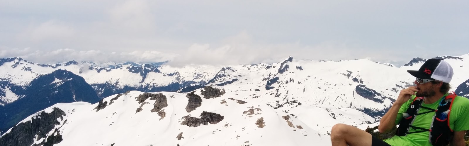
Conditions: Mostly clear and sunny spring day with temps in the mid to high teens. An unseasonably warm and sunny spring has lead to early melt out. The lower trail as in immaculate condition looking like it had been recently trimmed. We first reached snow at about 1100m and then consistently above 1300m. The trail peters out a bit around 1100m with some sidesloping but is always flagged just sufficiently enough. Above 1500m was all snow for us and we simply followed sightline to the top. I packed along and wore Mircospike though they did not appear to provide any benefit as the snow up top was quite soft.

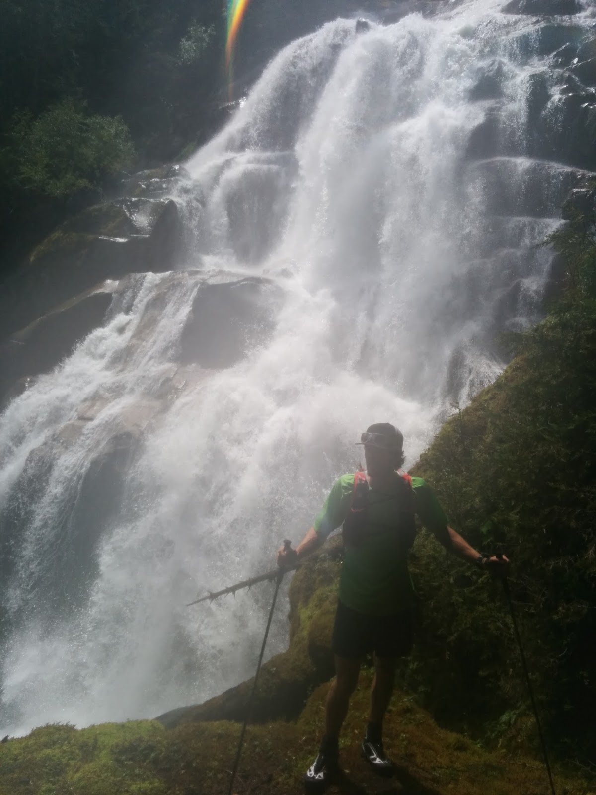
Timing: 2h35m ascent time, about ten minutes of stop-time up top, and then 1h30m descent time which included a ten minute detour to the well worthwhile Crooked Falls (600 meters return)

Total Distance: 15km / 9.4m

Total Elevation Gain: 2130m / 7000ft

Pace - Easy/Honest/Intense: Honest. We kept a good pace up to the top and had a few breaks to take in the views. The descent was consistent but again not pushing the pace at all.

Gear: Standard trail running gear, plus poles and Microspikes, though only I used the Mircospikes and the snow up top was soft and plush so the spikes were not necessary

To The Trailhead: Approximate drive time from North Van to the trailhead was 1h15m

Access: You can drive right to the trailhead in any vehicle. You spend a few kilometers at the very end of the drive on a freshly graded and relatively flat forest service road. Going beyond the trailhead area would likely require a 4WD vehicle

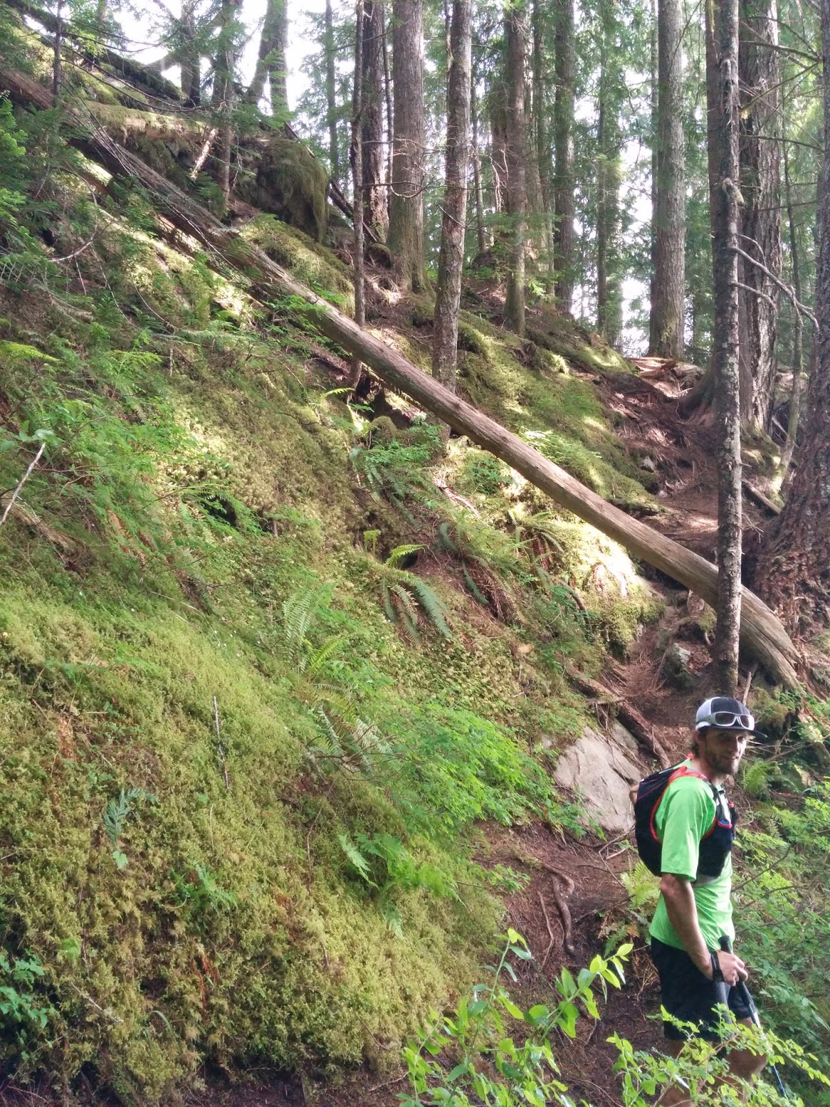
The Route: Completely sign posted from the start. It's a straight up and straight down trail with very little flat terrain mixed in. Once over about 1100m the trail becomes a bit more obscure but is still flagged appropriately. We had a few minor detours off the route but always found it again without major issue. Above 1500 meters was consistent snow and we simply followed sightline to the summit.
**If you decide to head up before the snow fully melts out you must be aware of cornices. Not overhanging from above but cornices that if not paying attention you could easily walk out onto and collapse with dire consequences. Pay attention to terrain hazards if attempting in the spring. Having said that, there is zero threat of danger if you're simply paying attention and you understand what you're looking at.

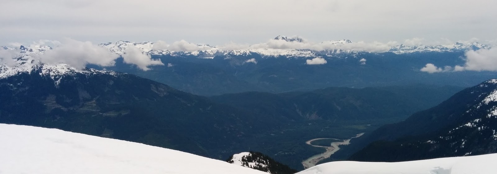
Assessment: A very worthwhile and surprisingly accessible spring summit. I was amazed we were able to get to almost 2000m in early June as this is certainly not the case most years. Views were great though not unbelievable. Worth the effort in every sense though. Looking up at Ossa and Pelion is fun and certainly beckons you to return later in the season for those targets.
*We did not come across any water sources on route so it's best to take along all water from the start

GPS via Movescount: Linked Here

Pictures: 


GR

October 30, 2013

Trip Report - Wedge Mountain Scramble - A 3100m / 10,000ft Day Out


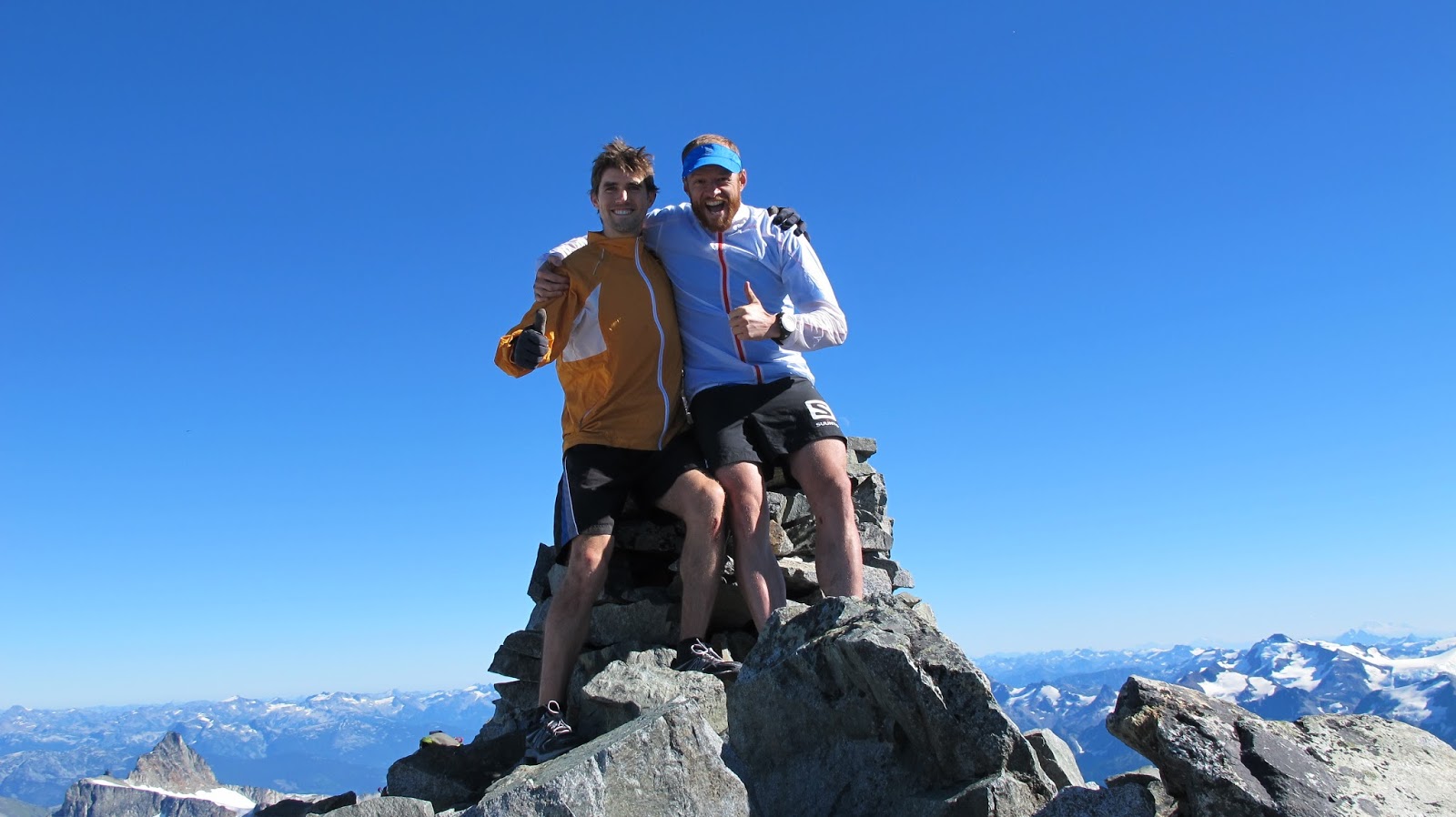
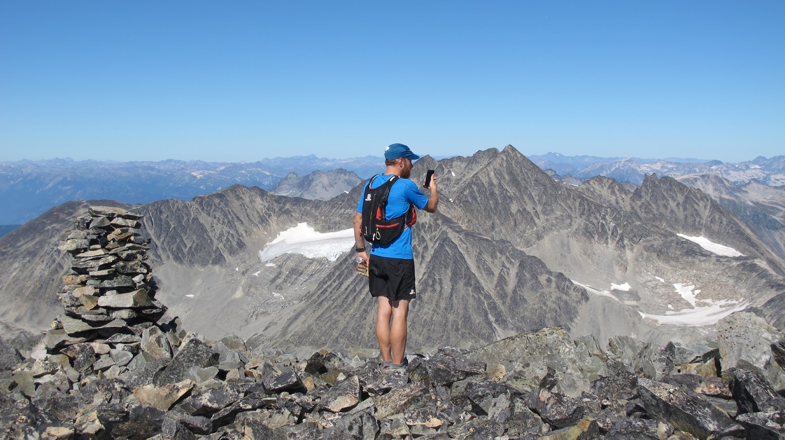
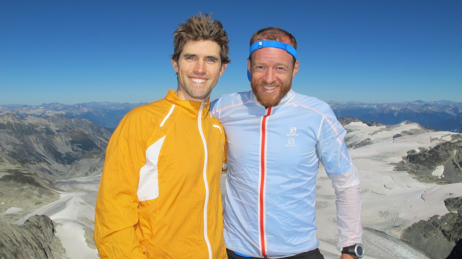
Wedge Mountain - 2892m / 9488ft
09-11-13

Party: + Mark Fearman

Conditions: Beautiful mid Sept day. Shorts and t-shirt weather with a light jacket as we climbed higher. No snow on the route.

Timing: 13h30m non-stop timing. We spent about twenty minutes at the Elfin Lakes shelter talking to a few campers and about twenty minutes on the summit. Our ascent time was 7h20m and our descent time was nearly six hours, though we were slowed significantly when one headlamp died within five minutes of turning it on. Always check the batteries I guess :)

Total Distance: 15.5m / 25km

Total Elevation Gain: 3125m / 10,250ft

Pace - Easy/Honest/Intense: Honest. We started out with a good brisk pace but as the day wore on my partner who had just flown in from Australia was showing signs of rust on his mountain legs. On the descent we also had one headlamp malfunction and were slowed further as we shared one beam of light. No dilly dallying along the way and only twenty minutes on the summit. It's a long day via this approach no matter how you slice it.

Technicality: The route is nothing but a very long slog with 75% of your time spent on shifting rocky footing. My core muscles were actually a wee bit sore the following day from simply being off balance for the better part of 9+ hours.

Gear Used: Basic trail running gear, collapsible trekking poles, and full emergency supplies including emergency bivy, fire starting kit, headlamps, etc

As a side note you get full 3g phone service from atop both Parkhurst and Wedge. It's worthwhile to pack along a phone as an additional safety device.

To The Trailhead: Drive time from Lonsdale in North Vancouver was 1h45m at 5am with no traffic and a slightly heavy foot.

Access: You can drive right to the Wedgemont Lake parking area in a 2WD. There is a large signboard with full map and bathroom access.

The Route: Straight forward as listed in the Scrambles in Southwest BC. Once you arrive at Wedgemont Lake there is hut, camping and a pit toilet.

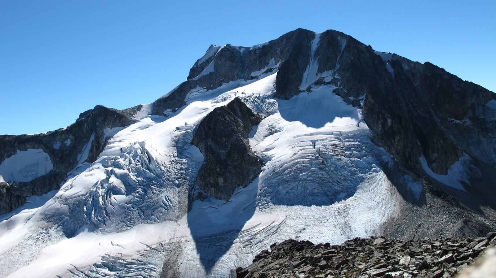
As you gaze across the lake in a southeasterly direction you catch your first glimpse of Wedge as it's the distant glaciated summit. Make no mistake that Wedge Mountain from this approach is a long day out. The summit proceeding Wedge is Parkhurst and that's where your approach to Wedge officially begins from.
Circumnavigate the lake in a westerly / counter clockwise direction to cross it at its drainage. If you decide to proceed in a easterly / clockwise direction ensure you are aptly trained and prepared for glacier travel. Your target to gain Parkhurst is the Southwest ridgeline.

An Addendum To Info In The Scrambles Book: which states "From directly below the col, climb a snow slope / gully between two cliff bands. The snow slopes here are steep and have bad run outs; an ice axe is recommended. Above the cliff bands follow a long snow slope / bench that traverses right until it is possible to ascend a snow slope / ramp back to the left...."

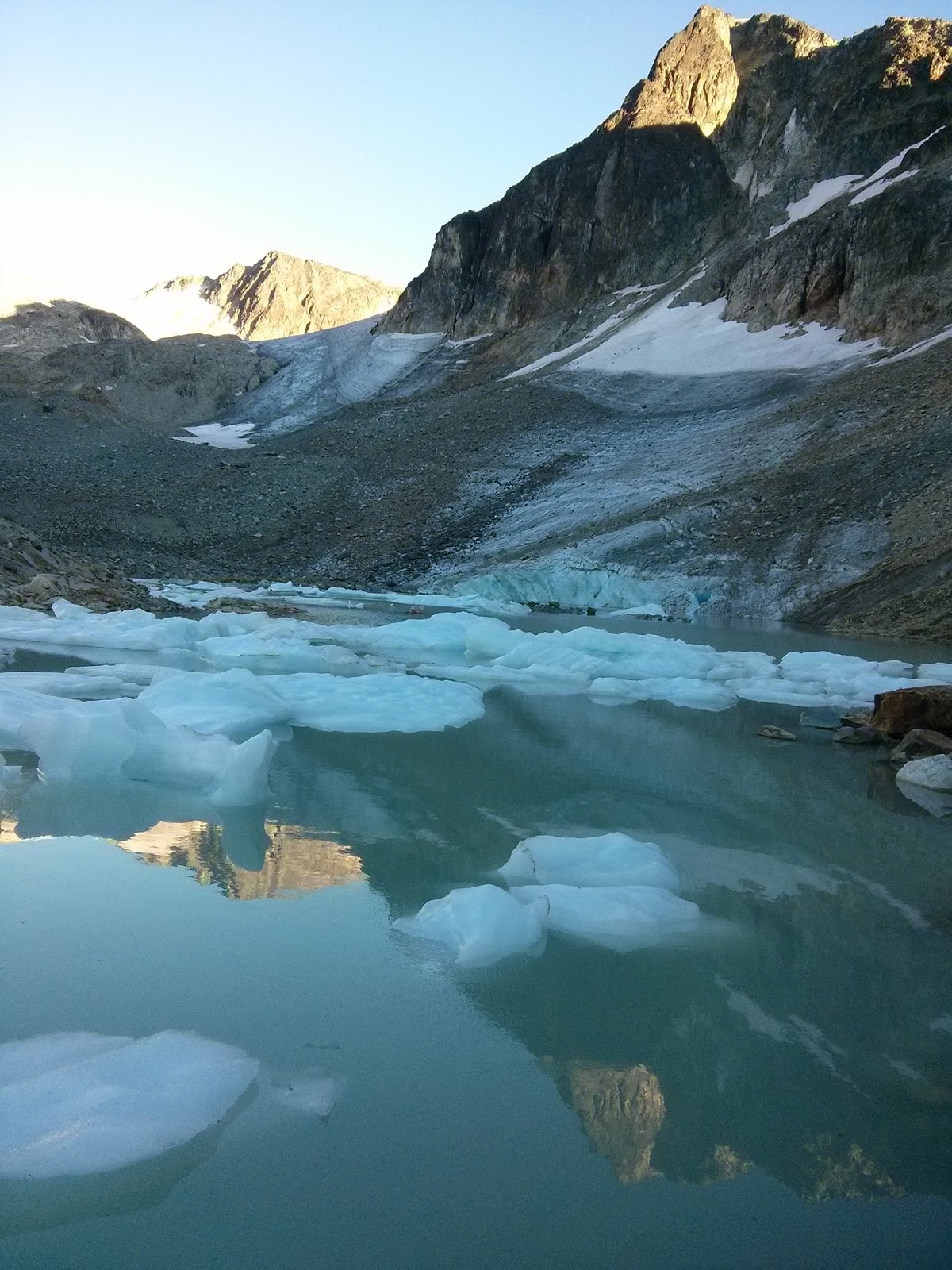
We encountered none of this as the near decade since this information was gathered has taken its toll on the glacier. I should say that our Sept 11th approach was near the culmination of one of the sunniest summer's on record. There is the chance that earlier in the season may still hold snow on the route but here's what we personally encountered; The crux of our route was the very first scrambly bits at the far side of the lake as you initiate your climb up to the Parkhurst / Rethel Col. There was mud sliding over the remaining ice near the initial bits of snow on this listed route. It was slick and sketchy but brief with only a few hundred meters to navigate. Once through this, at the 90 degree right turn up the slope to gain the first cliff band, we were through the snow entirely. On our return journey two small sections of this listed crux had slide into the water below. It won't be long before this scramble route will be completely free of all snow in the late fall season.

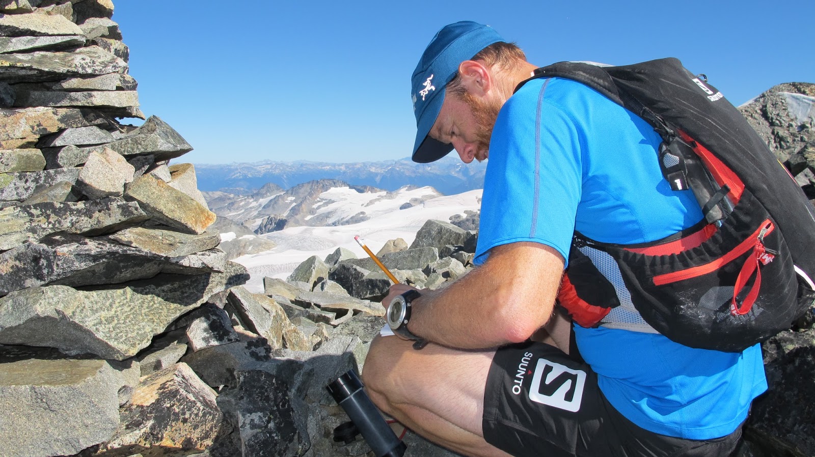
A note re the top of Parkhurst: After a six foot tall summit rock cairn you expect more of the same along the route, we saw next to none. From this limited vantage point we were nearly deterred from continuing by the incessant and significant rock slides occurring off of Wedge itself. We continued on with increasing doubt that we'd be able to safely complete our route on the day, only to discover that the rock slides were filtering into a large basin acting like a baseball glove. All this to say that there is a very safe route even if it doesn't present itself from the top of Parkhurst.

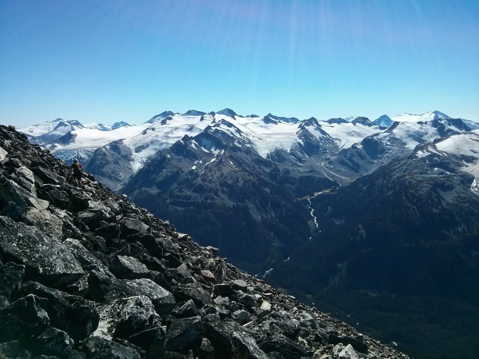
Assessment: A very long slog of a day in the mountains. Not to be attempted in one push by unfit and unprepared parties. At 2892m Wedge is the highest peak in Garibaldi Park, which in and of itself makes it a very worthwhile target. The views from the top are of course some of the most spectacular you'll get in the area, and you are seemingly surrounded by a sea of glacial ice in all directions. The scramble itself however leaves much to be desired. We guessed that most parties terminate their Wedge aspirations from atop Parkhurst as the views from Parkhurst are plentiful and the summit of Wedge still looms high above. If you're true target is Wedge, be prepared to overcome these thoughts and push onward and upward. Gaining Parkhurst twice, inbound and outbound, is a bit of a bitch though you won't regret doing so in the end.

GPS via Movescount: click here

Summit Video: Since it was three days before I got married we decided to have an improv bachelor party

Pictures:


The trekking poles were packed away immediately following this pic
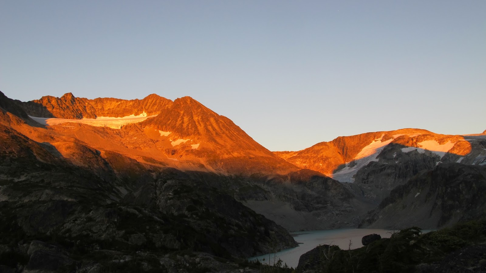
Alpenglow anyone?
Now if only both of our headlamps were working

GR